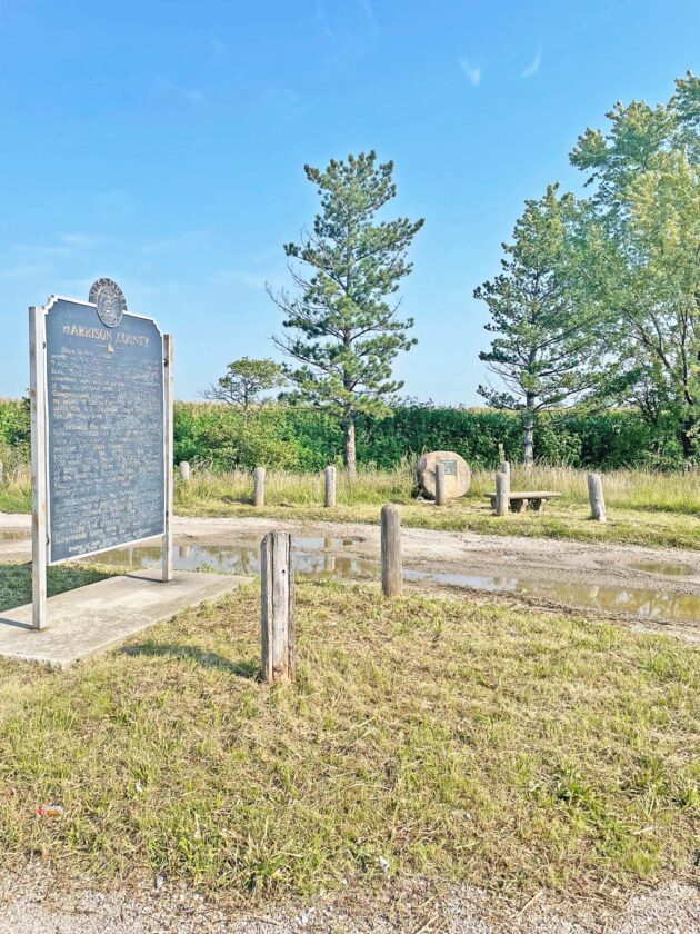
The D.A.R. marker, located on Highway 136, was nearly hidden as the vegetation towered over the monument. The area was found neglected on August 1st. By the following weekend the marker had been cut free of all the tall weeds and grass. After MoDOT confirmed their organization did not cut the grass, the scene hints at a local taking on the responsibility themselves to mow down the wild grass.
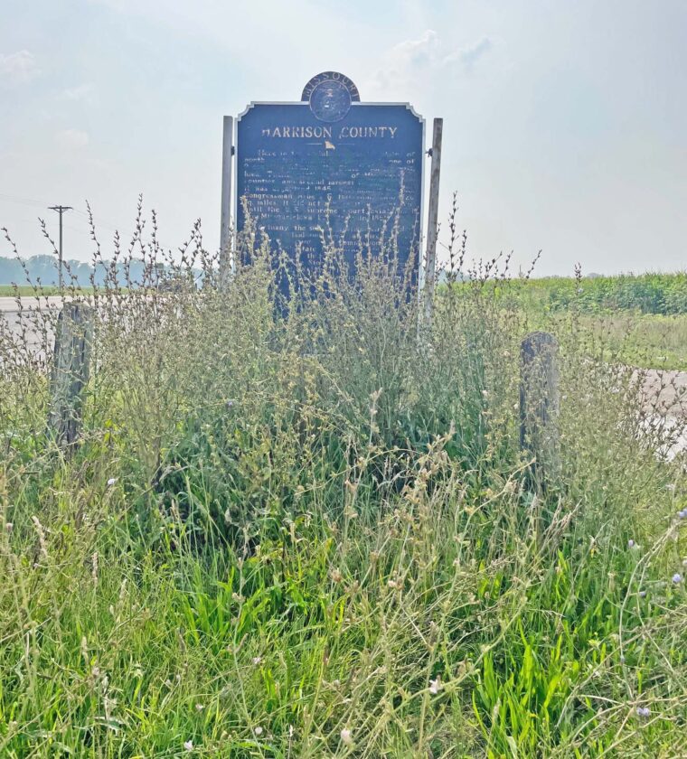
In this Aug. 1 photo, The Harrison County Historical Marker was obstructed by the weeds that were growing wild around the base of the sign. After a call was placed to MoDOT, the land was mowed, not by the state, but by an unknown person.
Harrison County, MO: Two weeks ago a Facebook post asked why the Harrison County Marker located beside Highway 136, at the old four-way southwest of Bethany, was in bad shape. The poster cited tall grass growing wild and pointed out the sun-damaged marker sign, asking the simple question: who is responsible for taking care of this area?–By Caleb Osmon